
Purva District Location
Purva District on the map
Purva District is located in Sanna Amanikere, off NH-44 (Bellary Road), within North Bengaluru's Devanahalli belt. This 9.73-acre project lies along the airport corridor, just a short 10-minute drive from Kempegowda International Airport.
It offers quick access to the KIADB Aerospace Park, the Satellite Town Ring Road, and the upcoming metro line. Residents enjoy smooth travel to North Bengaluru's major job hubs while living in a quiet, green setting away from city traffic.
Purva District Address
Purva District address is on NH-44 (Bellary Road) in the Devanahalli belt, one of North Bengaluru's fastest-growing corridors. The full address details are below.
- Locality: Sanna Amanikere, Devanahalli
- Landmark: off NH-44 (Bellary Road), near Kempegowda International Airport
- City: North Bengaluru, Karnataka
- Pincode: 562110
- Coordinates: 13.232961, 77.692540
Purva District Connectivity
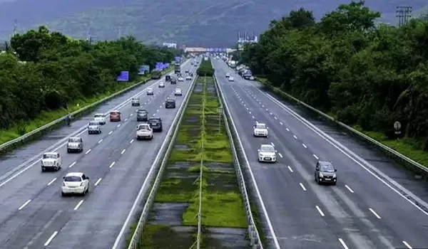
Purva District connectivity brings together the highway, the ring road, the rail line and the airport, with the metro on the way. Each link is set out below.
Road Connectivity
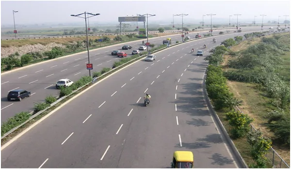
Purva District has direct access to NH-44 (Bellary Road), a six-lane national highway that runs straight into the city. The Satellite Town Ring Road links the belt to Doddaballapur and Hoskote, and local buses serve the Devanahalli stretch. Together these give residents a quick and flexible drive in any direction.
Metro Connectivity
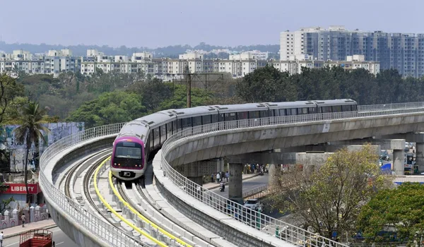
The upcoming Namma Metro Blue Line (Phase 2B), the airport line, is planned through the Devanahalli belt near Purva District. It is still under construction, so no station is operational yet, but once it is running, it will give residents a traffic-free ride to the airport and the city.
Rail Connectivity

The Bengaluru to Hindupur rail line passes through the Devanahalli belt, with nearby stations for short-distance travel, and KSR Bengaluru City station is reachable along NH-44. This gives residents a low-cost option for regional trips.
Air Connectivity

Kempegowda International Airport is about 8 to 10 km from Purva District, roughly a 10-minute drive on NH-44. Few Bengaluru addresses are this close to the airport, which makes travel and airport runs simple for residents who fly often.
Places to Visit Near Purva District
Purva District has several well-known spots within an easy drive, useful for weekends and short outings. Distances are approximate.
Devanahalli Fort (Tipu Sultan's birthplace) - about 7 km
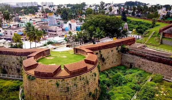
The historic Devanahalli Fort, the birthplace of Tipu Sultan, is about 7 km away, a short trip into the old town.
Nandi Hills - about 25 to 30 km

Nandi Hills, a popular hill station known for its sunrise views and cool weather, is about 25 to 30 km from Purva District, an easy morning drive.
Ghati Subramanya Temple - about 30 km
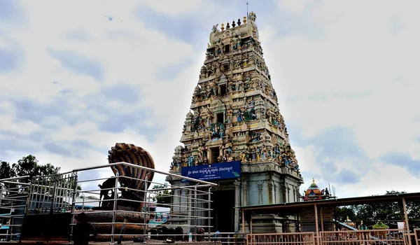
The Ghati Subramanya Temple, a well-known pilgrimage spot, is about 30 km away for a half-day trip.
Sanna Amanikere as a Residential Location
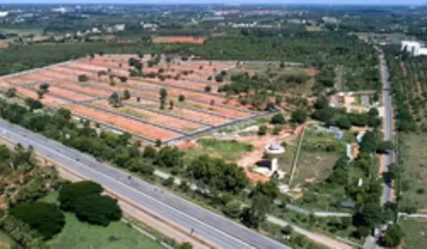
Sanna Amanikere is a quiet, fast-growing locality in the Devanahalli belt, once a small farming village and now a sought-after residential address on the airport corridor. It offers the calm, green feel of the airport countryside with the airport, the Aerospace Park and the highway all close by, which is what draws families and working professionals to the area.
Schools Near Purva District
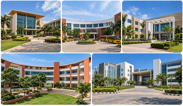
Purva District has established schools within reach, which keeps the daily school run manageable for families. Distances are approximate.
- Stonehill International School: about 10 to 14 km.
- Canadian International School: about 12 to 16 km.
- Akash International School: about 5 to 12 km.
- Vidyashilp Academy: about 12 to 16 km.
- REVA University: about 16 to 20 km.
Tech Hubs Near Purva District
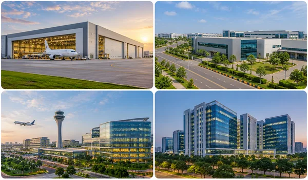
Purva District places several work hubs within an easy drive, which shortens the commute for residents working along the airport corridor. Distances are approximate.
- KIADB Aerospace Park and SEZ: about 6 km.
- Hardware Park, Bagalur belt: about 10 to 15 km.
- Bengaluru Airport City and Financial District: near the airport, under development.
- Manyata Tech Park: about 25 to 30 km.
Hospitals Near Purva District
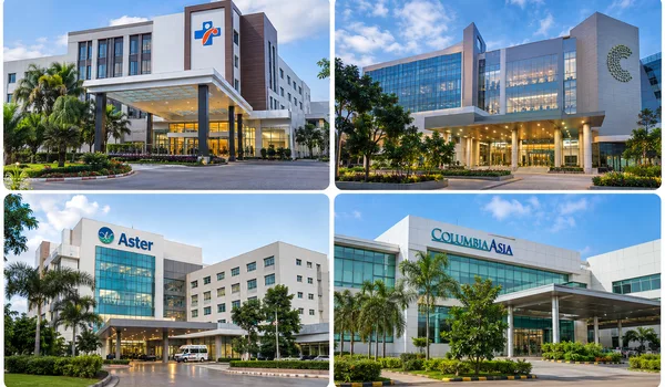
Purva District has multi-speciality healthcare along the corridor for both routine and specialist care. Distances are approximate.
- Akash Hospital and Institute: about 5 to 10 km.
- Cytecare Cancer Hospital, Yelahanka: about 16 to 20 km.
- Aster CMI Hospital, Hebbal: about 24 to 28 km.
- Columbia Asia Hospital, Hebbal: about 22 to 26 km.
Shopping and Malls Near Purva District
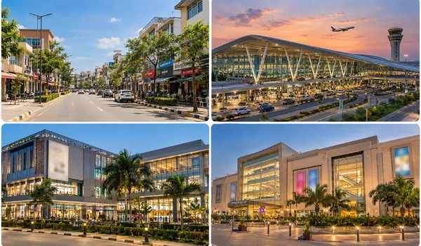
Purva District has everyday retail close by, with larger malls along the Bellary Road belt toward the city. Distances are approximate.
- Devanahalli town high street: about 5 to 8 km.
- Airport retail and dining: about 8 to 10 km.
- RMZ Galleria, Yelahanka: about 16 to 20 km.
- Esteem Mall, Hebbal: about 22 to 26 km.
Key Distances from Purva District
The key distances from Purva District are listed below. Travel times vary with traffic and route.
| Destination | Distance |
|---|---|
| Kempegowda International Airport | About 8 to 10 km |
| Devanahalli town | About 5 to 10 km |
| KIADB Aerospace Park and SEZ | About 6 km |
| Yelahanka | About 12 to 18 km |
| Hebbal | About 25 to 30 km |
| Manyata Tech Park | About 25 to 30 km |
| KR Puram | About 35 km |
| City centre (Majestic) | About 40 km |
Why Purva District Location Stands Out
Purva District location combines fast airport access with the space and greenery of the North Bengaluru countryside. The points below sum up its strengths.
- About a 10-minute drive to Kempegowda International Airport on NH-44.
- Close to the KIADB Aerospace Park and SEZ, a major employment hub about 6 km away.
- Served by NH-44, the Satellite Town Ring Road and the upcoming metro for flexible travel.
- Set in a calm, green, fast-growing corridor with strong long-term demand.
Frequently Asked Questions
Purva District is in Sanna Amanikere, off NH-44 (Bellary Road), Devanahalli, North Bengaluru 562110, about a 10-minute drive from Kempegowda International Airport.
Kempegowda International Airport is about 8 to 10 km from Purva District, roughly a 10-minute drive on NH-44.
Not yet. The nearest metro is the upcoming Namma Metro Blue Line (Phase 2B) to the airport, planned through the Devanahalli belt and still under construction.
Schools near Purva District include Stonehill International, Canadian International, Akash International and Vidyashilp Academy, along with REVA University, all within about 5 to 20 km.
Yes. Akash Hospital is about 5 to 10 km away, with Cytecare, Aster CMI and Columbia Asia within about 16 to 28 km along the corridor.
The KIADB Aerospace Park and SEZ is about 6 km away, with Hardware Park nearby and Manyata Tech Park about 25 to 30 km away.
Explore the neighbourhood in detail
Download the brochure for a full connectivity map or speak with our sales team for directions to the site.